Times gone by Jerash & Ajloun

Ajloun city, located 25 kilometres west of Jerash and 73 kilometres from Amman, winds through fertile green hillsides lined with olive groves. The main attraction in ‘Ajloun is the stronghold of Qala’at al-Rabadh, a fine example of medieval Arab/Islamic military architecture. The castle was built between 1184-85 CE by the nephew of Saladin. Ajloun’s strategic position commanding the Jordan Valley, as well as the three small valleys leading to it, made it an important link in the defensive chain against the Crusaders, who spent decades unsuccessfully trying to capture the castle and nearby village. The fortress is built upon the apex of the hill above ‘Ajloun, and offers a breathtaking view of the surrounding countryside. On a clear day you can see the Dead Sea, the Jordan Valley, the West Bank, and Lake Tiberias (the Sea of Galilee).
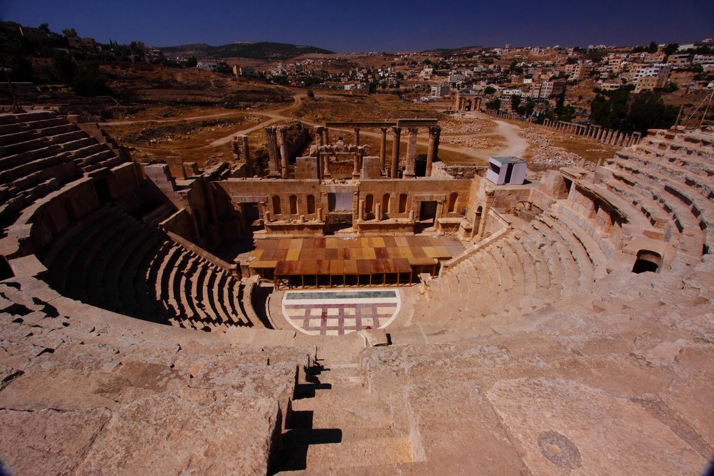
Jerash is known for the ruins of the Greco-Roman city of Gerasa, also referred to as Antioch on the Golden River. It is sometimes misleadingly referred to as the "Pompeii of the Middle East", referring to its size, extent of excavation and level of preservation (though Jerash was never buried by a volcano). Jerash became an urban center during the 3rd century BC and a member of the federation of Greek cities known as the Decapolis ("ten cities" in Greek). Jerash prospered during the 1st century BC as a result of its position on the incense and spice trade route from the Arabian Peninsula to Syria and the Mediterranean region.
Transportation in A/C Vehicle
English Speaking Driver
Entrance Fees to Jerash & Ajloun
Lunch
Tips to Driver , restaurant staff ..etc.
Drinks/beverages with lunch
Any personal expenses such as telephones, souvenirs.
